Our climate
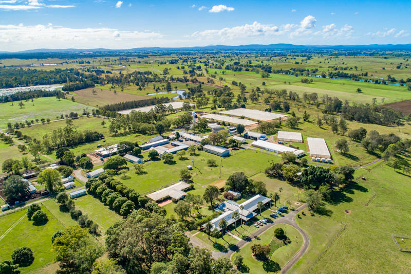
The Grafton Primary Industries Institute is located at 29° 37’ S and 152° 57’E, on the north coast of New South Wales. The property is 830 hectares in area and is approximately 15 metres above mean sea level.
The climate is subtropical with a dry spring and early summer, with major rainfall occurring during January to April. The mean annual rainfall is 1054 mm. Mean monthly maximum temperatures vary from 29° C in January to 19° C in July, and mean monthly minimum temperatures vary from 19°C in January to 6° C in July.
Soil types vary from heavy alluvial on the creek flats to higher river terrace (red alluvium) on the hills, with lighter sands on the ridges of the north-east section of the property. Several important natural conservation areas are located on the Institute including Bunyip Swamp and a remnant of subtropical rainforest.