

Riverina LHPA - OJD Prevalence Areas
View large version of map (892kb PDF)
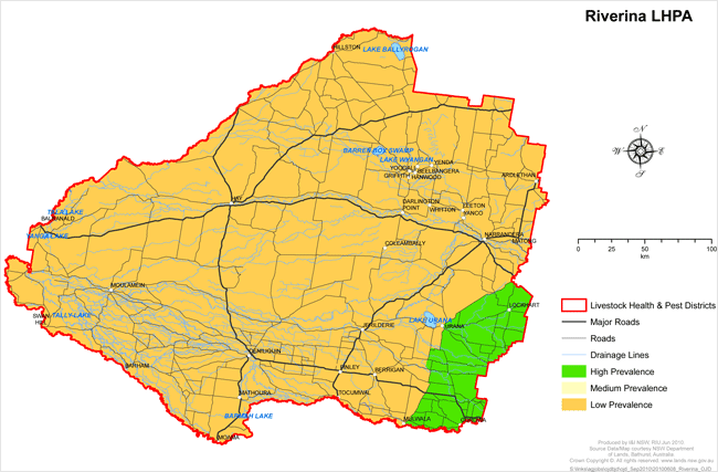
High Prevalence Area (HPA)
That part of the Riverina LHP District south and east of the following roads, commencing in the northeast and heading south and west: the Boree Creek-Kywong road, then southwards on the Urana-Boree Creek road, then southwards on the Urana to Corowa Road to the junction with the Oaklands Road at Gunambil, then west and south to Oaklands, then southwards to Wangamong, Sangar and Rennie to the Junction of the Bull Plain Road with the Murray River.
Low Prevalence Area (LPA)
That part of the Riverina LHP District north and west of the following roads, commencing in the northeast and heading south and west: the Boree Creek-Kywong road, then southwards on the Urana-Boree Creek road, then southwards on the Urana to Corowa Road to the junction with the Oaklands Road at Gunambil, then west and south to Oaklands, then southwards to Wangamong, Sangar and Rennie to the Junction of the Bull Plain Road.
