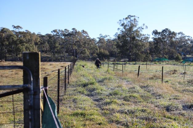
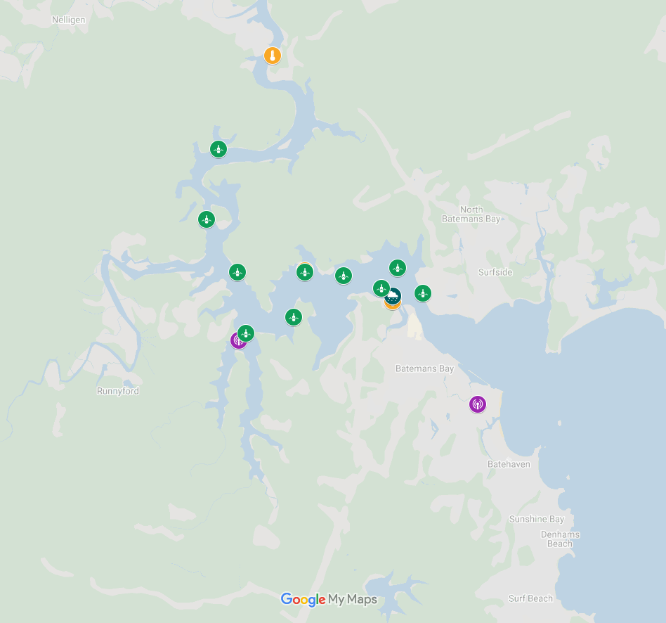
Fisheries Pilot
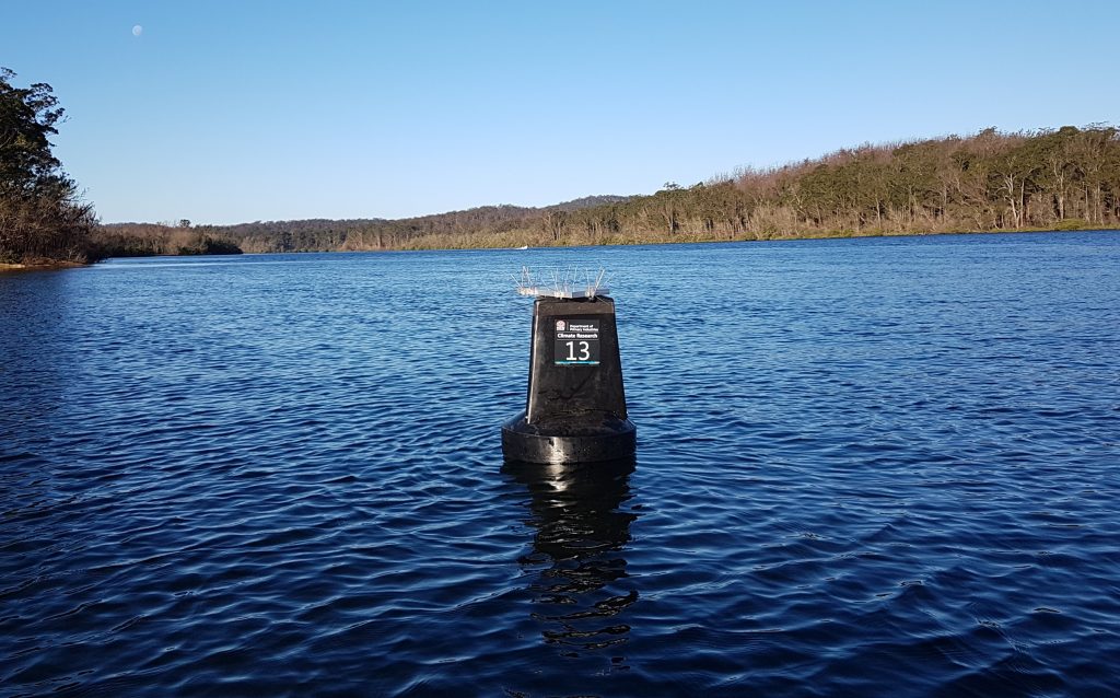
Mounted on buoys bobbing away on the Clyde River are a series of marine-proof sensors with an important role. By measuring and reporting on water salinity and temperature, the sensors are helping to deliver valuable information on the environment to the estuary’s oyster farmers.
These sensors form a part of the Estuary Sensor Platform, a tool built for oyster farmers as part of NSW DPIRD’s $6.7 million Climate Smart Pilots (CSP) project. It aims to improve how NSW farmers respond and adapt to climate change.
The Estuary Sensor Platform incorporates numerous environmental and marine IoT (Internet of Things) sensors. These sensors are low-power wide-area network protocol (LoRaWAN) enabled and transmit measurements multiple times a day.
They include:
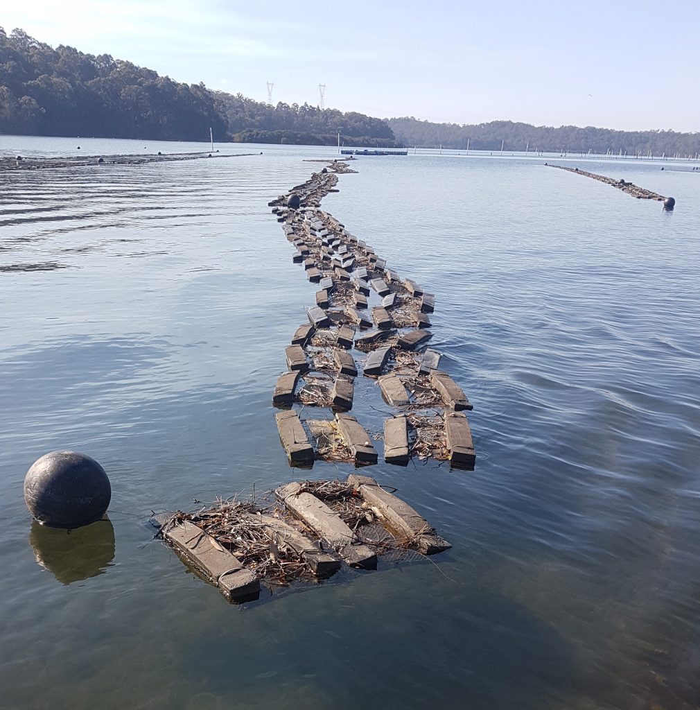
- floating salinity and temperature sensors mounted on buoys in the estuary channel and oyster harvest zones, which monitor changing water conditions;
- fixed salinity and temperature sensors, which monitor changes from tidal effects;
- temperature loggers for oyster farmers to place with their oysters to monitor and provide warning of extreme temperature events;
- and an automatic weather station, which provides accurate and timely data to farmers that is local to their oyster production zones.
The platform also includes:
- centralised LoRaWAN gateways, which capture sensor data and upload it for farmers to access;
- a ‘backend’ or cloud-based system to store data; and
- an easily accessible dashboard for visualising and interacting with the data.
Why is the platform needed?
Agricultural Sensing Technician Matt Pierce, who is working across all CSP projects, says the Estuary Sensor Platform will better prepare the local oyster industry for both current and future climate events.
“Under a changing climate the future rainfall regime could shift considerably on the southeast coast of NSW. A key risk-factor is increased storm and rainfall intensity, leading to more frequent and larger pulses of fresh water through the Batemans Bay Estuary.”
Although rainfall is a welcome sight for many NSW farmers, for oyster farmers it needs to be monitored carefully. This is because flood events can damage oyster farming infrastructure and create conditions conducive to oyster mortality.
“The sudden and occasionally prolonged drop in water temperature, introduction of excess sediments and displacement of saline water creates a hostile habitat.”
Fresh water is a primary contamination source. When introduced to oysters it poses consumer health risks, and therefore, rainfall determines harvest closures. That means it is vital for farmers to track local rainfall as it occurs in preparation for any closures, potentially reducing losses.
With farmers’ only consistent Bureau of Meteorology (BoM) station more than 20 kilometres away, local, on-farm weather stations will provide much needed data.
Sensors that log temperature are also important, Mr Pierce says. “They can tell farmers if a heat wave is occurring in their lease. This allows them to respond as required, again with the potential to reduce losses.”
He says the digital tools linked to the management of these water quality changes will better prepare the local industry. “They not only save on labour, but also provide extra ‘peace of mind’ given the prospect of these shifts in climate extremes.”
This is particularly important for the area’s oyster farmers. “Producers are already dealing with other factors such as the ongoing impacts of the 2019/2020 bushfire season and the effect of Covid-19 on their markets.”
Production
With annual production worth more than $59 million, NSW oyster production plays an important economic role in the fisheries sector. Oyster farming also has numerous advantages to coastal ecosystems. Oysters are filter feeders, which improves water quality, cycles nutrients and sequesters carbon. Farming infrastructure also acts a habitat to shelter small invertebrates and juvenile fish from both weather and predators
Any improvements to this important fisheries sector through technology is beneficial to the wider community.
Local interest
The Platform uses the Batemans Bay Community LoRaWAN Network, which was jointly established by the Eurobodalla Shire Council and the NSW DPIRD.
Eurobodalla Shire have installed a gateway on Mt Wandera and the Batemans Bay Public Library. NSW DPIRD installed a gateway at the mouth of Mundarlow Creek. However, it has been offline since late December 2019 due to bushfires.
This LoRaWAN network, as with all being established by NSW DPIRD, is not restricted to producers. It may be freely used by anyone, including developers, researchers, schools, businesses, and individuals. This means anyone with a LoRaWAN-enabled device can use the network.
For more information, contact Matthew Pierce. Email: matt.pierce@dpi.nsw.gov.au
Related Case Studies