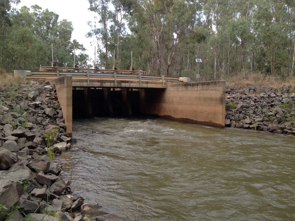
Bonshaw Weir
Dumaresq River
Maldon Weir
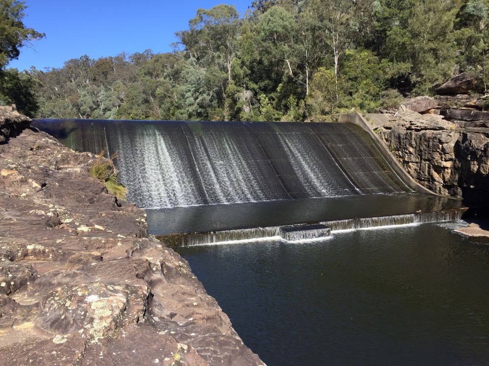
Nepean River
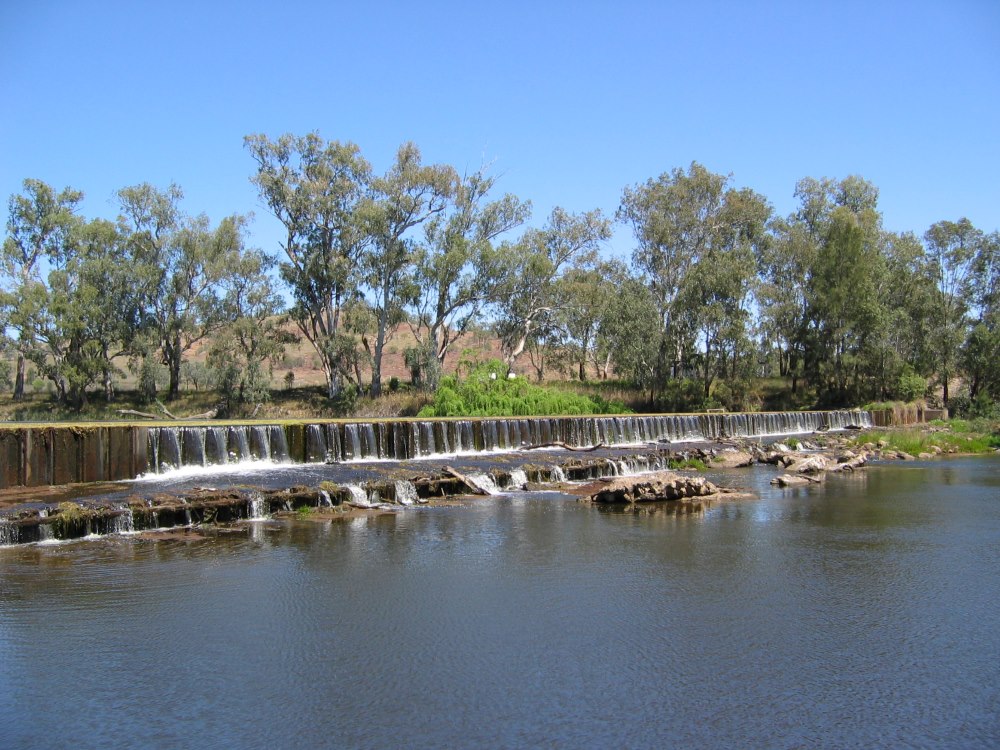
Narromine Weir
Macquarie River
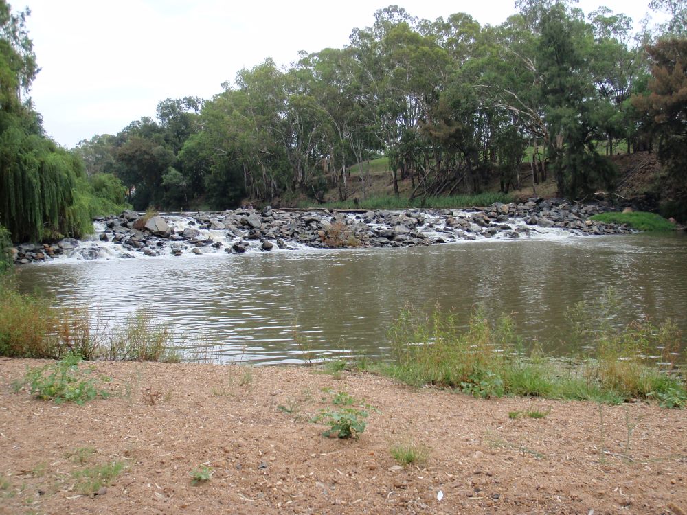
Mary Ada Regulator
Toupna Creek

Hume Dam
Murray River

Why build a dam or a weir?
- Town water - Most dams and weirs were originally built to provide a water supply for towns or rural properties.
- Irrigation - Weirs built to facilitate the diversion of water into streams or onto floodplains. In more recent years, weirs have been built to help river operators manage releases from dams or to increase water depth for pumps and diversion channels in major irrigation developments.
- Recreation/aesthetic - In a few cases, dams and weirs have been constructed purely to provide an aesthetically pleasing body of water or for use as swimming holes.
Impacts of dams and weirs
Although dams and weirs have long served as an important asset for many towns and properties, it is now recognised that many developments have come at a significant environmental cost.
Dams and weirs act to modify fish habitat by creating areas of still water upstream, trapping sediment, nutrients and pollutants, and increases the potential for algal blooms. Creating areas of still water also affects riverine functions such as invertebrate and detrital drift, leading to reduced biological productivity.
Dams and weirs directly affect native fish by acting as barriers and obstructing native fish migration. This can lead to poorer recruitment and in some cases localised extinctions above larger barriers. As fish congregate below dams or weirs, there is also an increased potential for disease transfer or predation.
The upstream still water areas created by weirs can also:
- restrict the movement of fish larvae which drift rather than swim.
- reduce the numbers of eggs and larvae that reach preferred nursery habitat.
- provide habitat better suited to exotic species such as European Carp (Cyprinus carpio), Goldfish (Carassius auratus), Gambusia (Gambusia holbrooki) and Redfin Perch (Perca fluviatilis).
 The type of dam or weir and the way they are managed can also directly affect native fish.
Where water is released from the bottom of large dams, the water temperature downstream can be significantly reduced, creating cold water pollution. This can have an adverse impact on native plants and animals, including the breeding patterns of many aquatic invertebrate and native fish species.
In addition, it has been found that the way water is passed through or across a low level weir can affect the ability for native fish larvae to survive1. Where water is delivered through the weir structure by raising gates, water is forced through under pressure. These “undershot” weirs have been shown to cause the death of 95% of Golden Perch larvae and 52% of Murray Cod larvae. Other weirs that deliver water over the top of the structure or gates (“overshot” weirs) were found to have significantly less impact on fish larvae.
Reference:
Baumgartner, L., Reynoldson, N., and Gilligan, D. (2006). Mortality of larval Murray Cod (Maccullochella peelii peelii) and Golden Perch (Macquaria ambigua) associated with passage through two types of low-head weirs. Mar Freshwater Res. 57: 187-191.
Fish passage database
There are thousands of dams and weirs on NSW rivers: there are at least 4000 weirs within the Murray Darling Basin alone. In some waterways, substantial lengths of stream have been altered from a free-flowing to impounded habitat.
NSW DPRID Fisheries have mapped and assessed dams, weirs and other barriers to fish passage across the State in order to understand and improve fish habitat. NSW DPRID Fisheries' Detailed Weir Review project investigated 109 weir structures across the former 13 CMA (now Local Land Services) regions of NSW. The individual detailed reviews for the 13 regions can be accessed via the Quick Link "Fish passage assessment reports relating to weirs" below.
To view all weirs in NSW visit the NSW Fisheries Spatial Data Portal.
The database includes the location of over 13,800 in stream structures within Key Fish Habitat. The data is fully downloadable as a shapefile from the NSW Fisheries Spatial Data Portal under a Creative Commons licence requiring credit be provided to DPIRD Fisheries.
The database is an ongoing initiative. As such, it will contain errors, omissions and outdated information. The accuracy will continue to improve as updates are made, feedback is gained, and new sites are added bi-annually or as required.
If you find a barrier to fish passage that is not showing on the spatial data portal, please report it by following this link and choosing "open in web browser".
If you are having difficulties doing this, you can always report a barrier to fish passage by getting in touch with your local fisheries manager at fish.passage@dpi.nsw.gov.au.