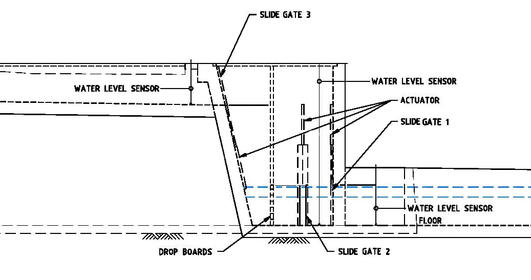
Jabour Weir fishway detailed design
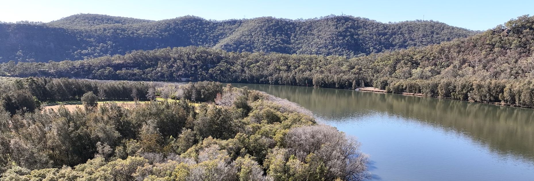
Richmond River
Stroud Weir fishway
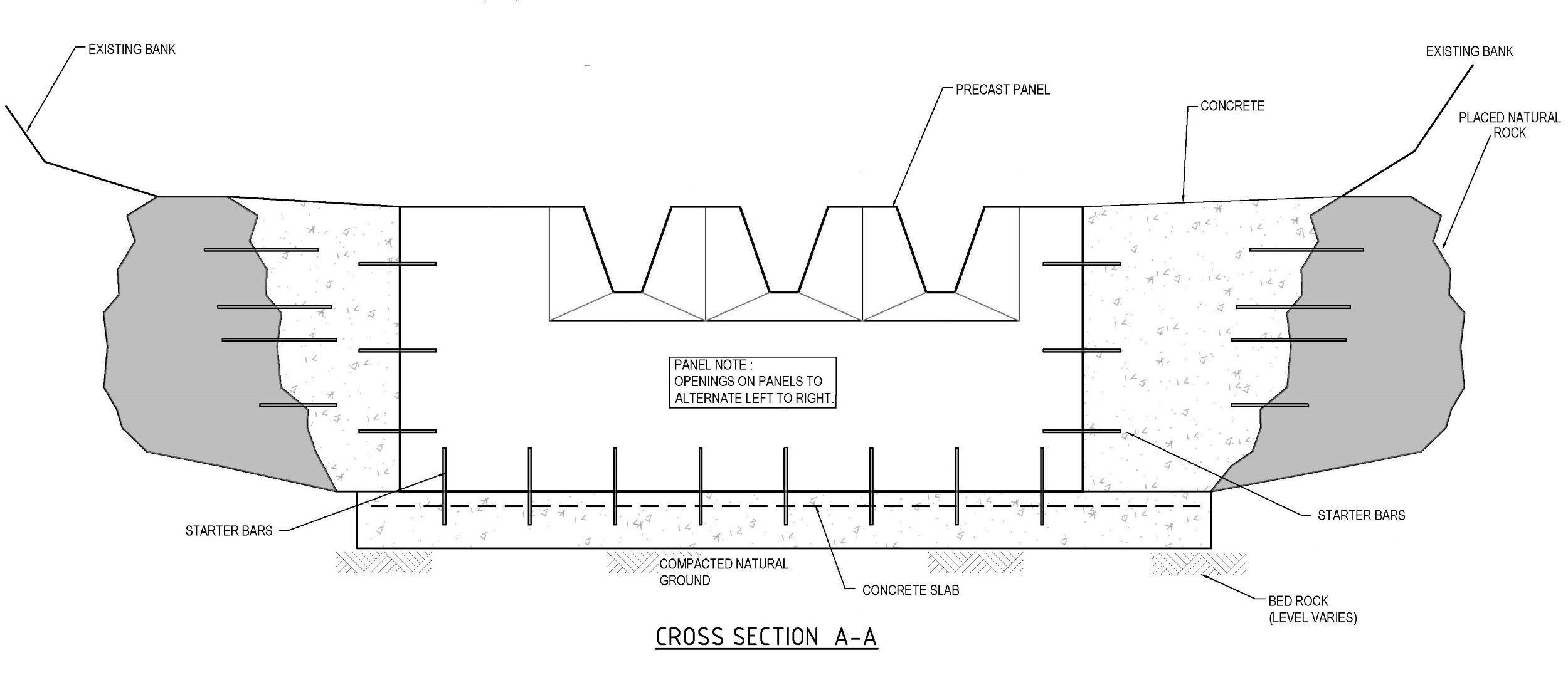
Cone ridge design
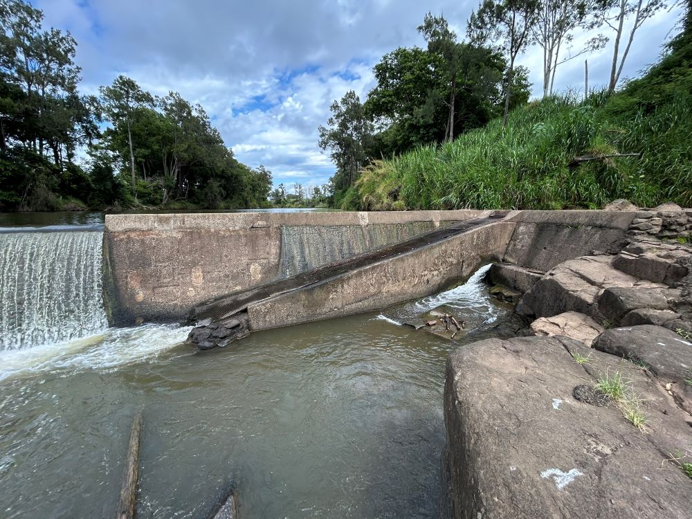
Marsden Street fish lock repair
Parramatta River
Richmond River
Cone ridge design
Parramatta River