Solitary Islands Marine Park
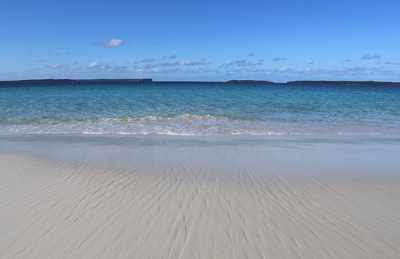
Stretching across 100 kilometres of coastline from the entrance to the Sandon River south to Muttonbird Island at Coffs Harbour, the Solitary Islands Marine Park covers more than 70,000 hectares. The marine park extends from the mean high water mark and upper tidal limits of estuaries and coastal lakes, seaward to the three nautical mile limit of NSW waters and includes the entire seabed.
Aboriginal people from the Gumbaynggirr and Yaegl Nations have cared for this place for thousands of years. The marine park was first initiated by the local community as a marine reserve in 1991. The Solitary Islands Marine Park was declared in 1998.
The marine park is here for everyone to share. Help care for this special place into the future.
Map of Solitary Islands Marine Park
Download a Solitary Islands Marine Park map here.
Download the FishSmart app for all the information you need to fish in NSW. The FishSmart app lets you track your location in relation to marine park zones in real time.
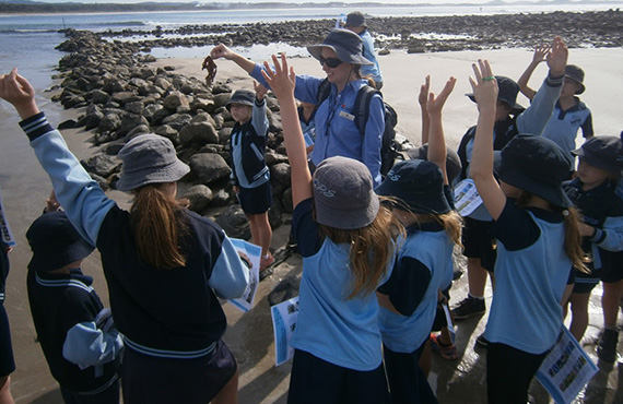
Download information on collecting from rocky shores.
Some of the content on this page may not be fully accessible. To obtain an accessible version of this content please email solitary.islands@dpird.nsw.gov.au
A place like no other
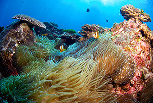
The NSW Solitary Islands Marine Park contains a rich diversity of plants and animals supported by a complex mix of habitats. The reefs around the five main Solitary Islands support a wealth of marine life, including unusual combinations of species.
The marine park is an area of tropical and temperate mixing, where the warm waters of the East Australian Current meet with cool, nutrient rich currents from the south that upwell from the deep. This allows tropical, subtropical and temperate marine communities to coexist in the same area.
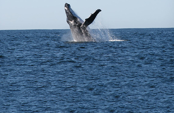
The mixture of marine life here is seen nowhere else, including over 600 species of reef fish, 100 species of coral, 700 species of mollusc, many sharks, rays, whales, dolphins and over 120 bird species. The marine park is a stronghold for threatened species such as the Black Rockcod. This is a unique, special place.
Solitary Islands Marine Park (Commonwealth waters)
The Solitary Islands Marine Park (Commonwealth waters) covers 15,200 hectares on the seaward side of the NSW Solitary Islands Marine Park, out to the 50-metre depth contour. The Solitary Islands Marine Park (Commonwealth waters) is managed by Parks Australia in partnership with the NSW Department of Primary Industries and Regional Development.
The Australian marine park includes Pimpernel Rock, a submerged pinnacle rising to within a few metres of the surface that is home to critically endangered Greynurse Shark and vulnerable Black Rockcod. The underwater rocky pinnacle, reefs and cave systems offer a spectacular diving experience. No fishing or extractive activities are allowed in the green Pimpernel Rock Marine National Park Zone.
For more information visit www.parksaustralia.gov.au/solitary-islands.

